
The Elevated State
Writer Joseph J. Airdo // Photography by Anthony Giammarino
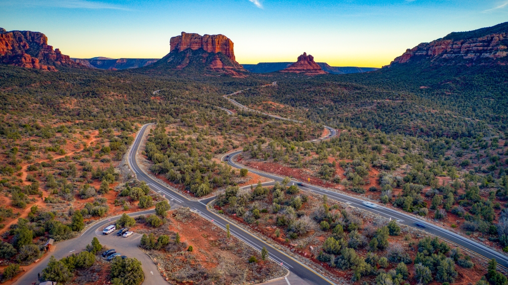
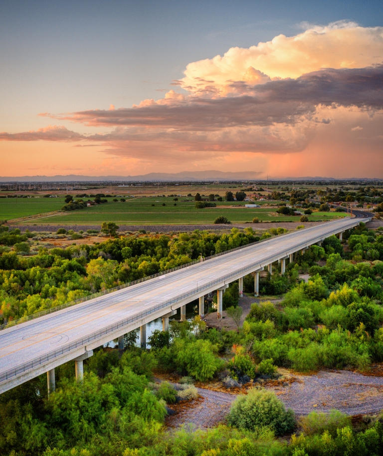
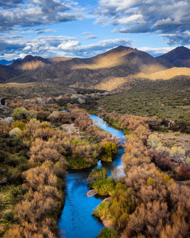
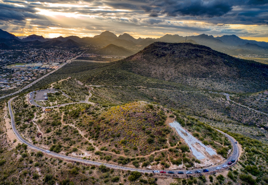
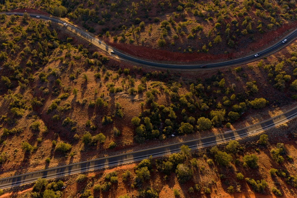
There’s a certain magic to Arizona in high summer — when monsoon clouds build dramatic fortresses in the sky, when desert washes briefly transform into flowing waterways and when the interplay of light and shadow creates ever-changing masterpieces across our varied terrain. While these phenomena captivate us from ground level, they become truly spectacular when witnessed from above.
In this second installment of our aerial journey across Arizona, we continue exploring the state’s remarkable exterior regions through Anthony Giammarino’s drone photography. Where traditional perspectives offer only a fragment of the story, these elevated viewpoints reveal Arizona’s intricate tapestry in its entirety — the way ancient formations connect to one another, how communities have adapted to the land’s contours and how water shapes every aspect of our environment.
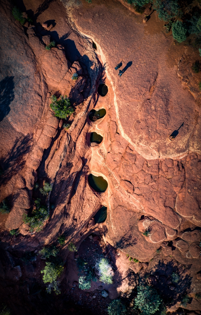
The drone’s unique vantage point — higher than human perspective yet lower than aircraft altitude — captures a precious middle ground where Arizona’s true character emerges. Familiar landmarks take on new significance when seen within their broader context. Geological features reveal their complete patterns. Natural and human elements interact in ways invisible from the ground. It’s Arizona as you’ve always known it, yet somehow entirely new.
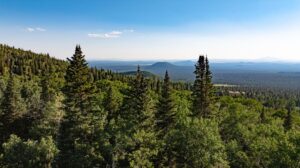
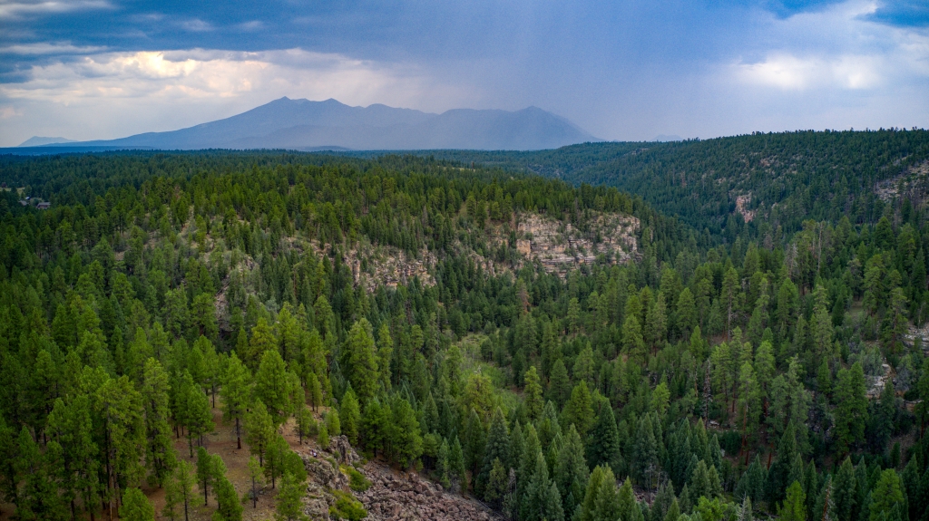
For summer travelers venturing beyond the Valley, Giammarino’s images serve as both inspiration and revelation. They encourage us to look beyond the obvious, to imagine how the places we visit connect to the greater whole, and to appreciate the remarkable diversity that defines our state. Whether you’re planning adventures to Sedona’s red rocks, Tucson’s saguaro forests or the cool pine country around Flagstaff, these aerial perspectives offer a preview of Arizona’s summer majesty.
Giammarino, who first fell in love with Arizona through his drone’s viewfinder, continues to discover new wonders with each flight. His work reminds us that even in a state celebrated for its natural beauty, there are always fresh perspectives to be found — if only we’re willing to rise above the ordinary.
About the Photographer

Anthony Giammarino approaches drone photography with the perfect combination of technical precision and artistic vision. A native of upstate New York who relocated to Arizona in 2018, he has methodically explored the state’s remote regions, capturing their essence from altitudes that reveal both grand vistas and intimate details.
“Drone perspectives are so unique because it’s not about how high you can go,” Giammarino explains. “It’s about finding that sweet spot — not as high as an airplane, not as limited as standing on the ground — where Arizona’s true character emerges.”
Through his business, Airobird Drones, Giammarino has established himself as one of Arizona’s premier aerial photographers, while his creative outlet @AntsDrone on Instagram showcases his artistic exploration of the state’s diverse landscapes. His work has taken him across Arizona’s remarkably varied geography—from the stark beauty of southern desert regions to the verdant corridors along the state’s precious waterways to the dramatic terrain of the high country.
What separates Giammarino’s work from typical drone photography is his deep appreciation for how Arizona’s landforms tell stories when viewed from above. He doesn’t merely capture beautiful scenery; he reveals connections, patterns and relationships that remain hidden from ground-level observers.
“There’s nowhere else with Arizona’s combination of color, texture and dramatic landscapes,” Giammarino says. “Every time I send up my drone in a new location, I discover something unexpected — even in places I thought I knew well.”